
|
Quote of the day! Our value is not determined by who we are, what we do, or what we look like, but by the Price that was paid for us. Romans 5: 8 |
|
Sue Andersen |
|
Branson, Mo Flood 2011 Table Rock and Taneycomo Flooding Presented by Sue Andersen Realty |

|
Observations by a 33 year Local! As Accurate as my Memory Allows - Which is getting worse?? April 2011 |
|
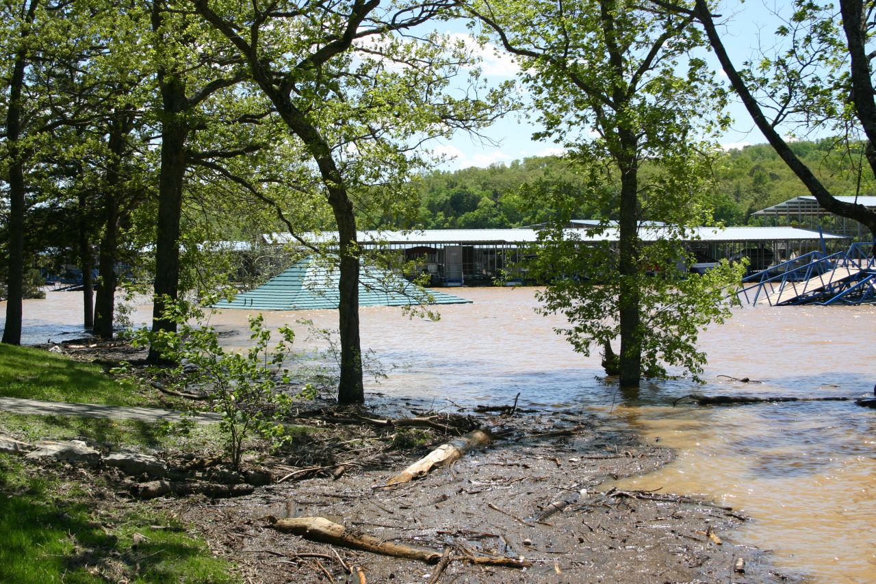
Long Creek Marina The roof is the information booth for the Princess |
|
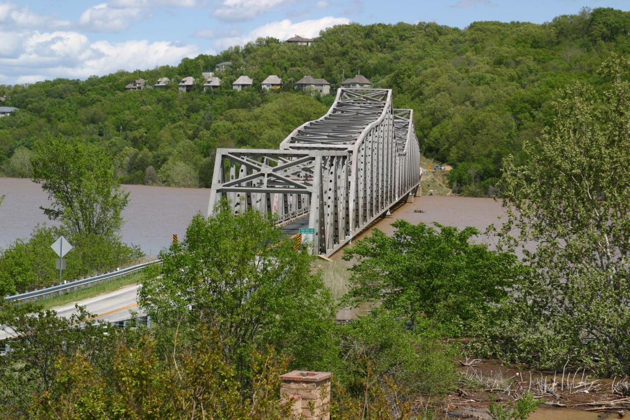
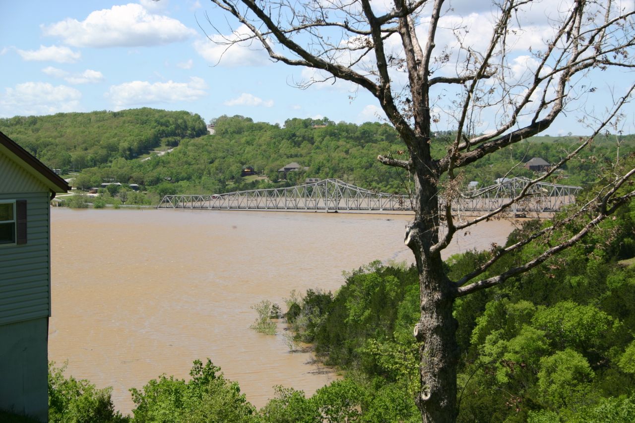
Long Creek Bridge on HWY 86 Bridge structure on the West end (Twin Island) is underwater |


|
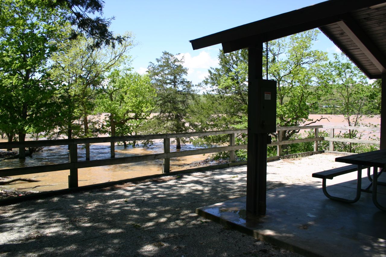
Long Creek Shelter by Swim Area |
|
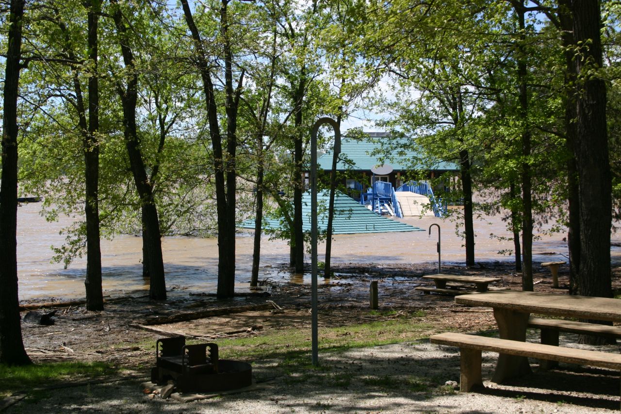
Long Creek Bath House by Swim Area |
|
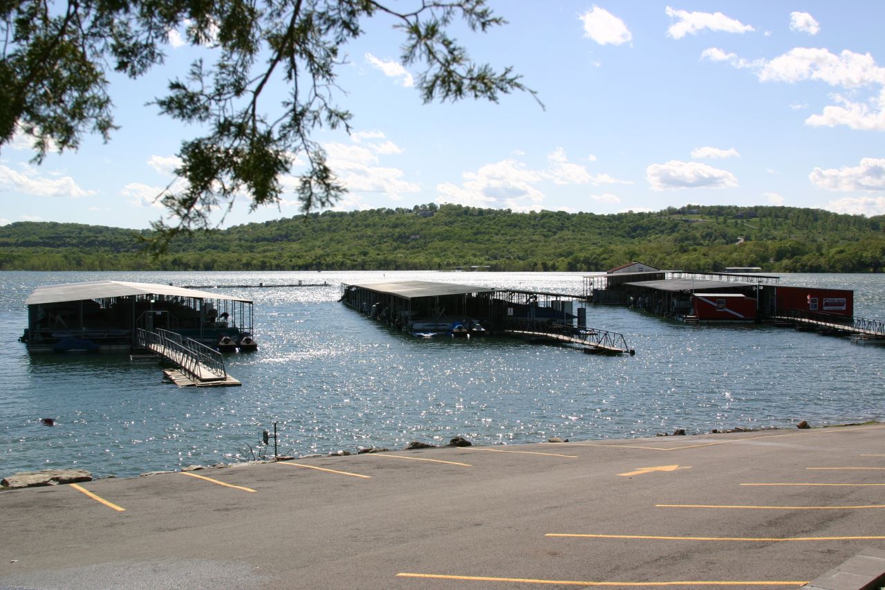
Indian Point Marina |
|
Indian Point Marina |
|
Long Creek and Indian Point Marinas
Marina operators have much work ahead for preparation for summer season. These operators are veterans at this, as they have been through this before. All marinas will be ready for the summer season shortly so that we can all enjoy the lake. |
|
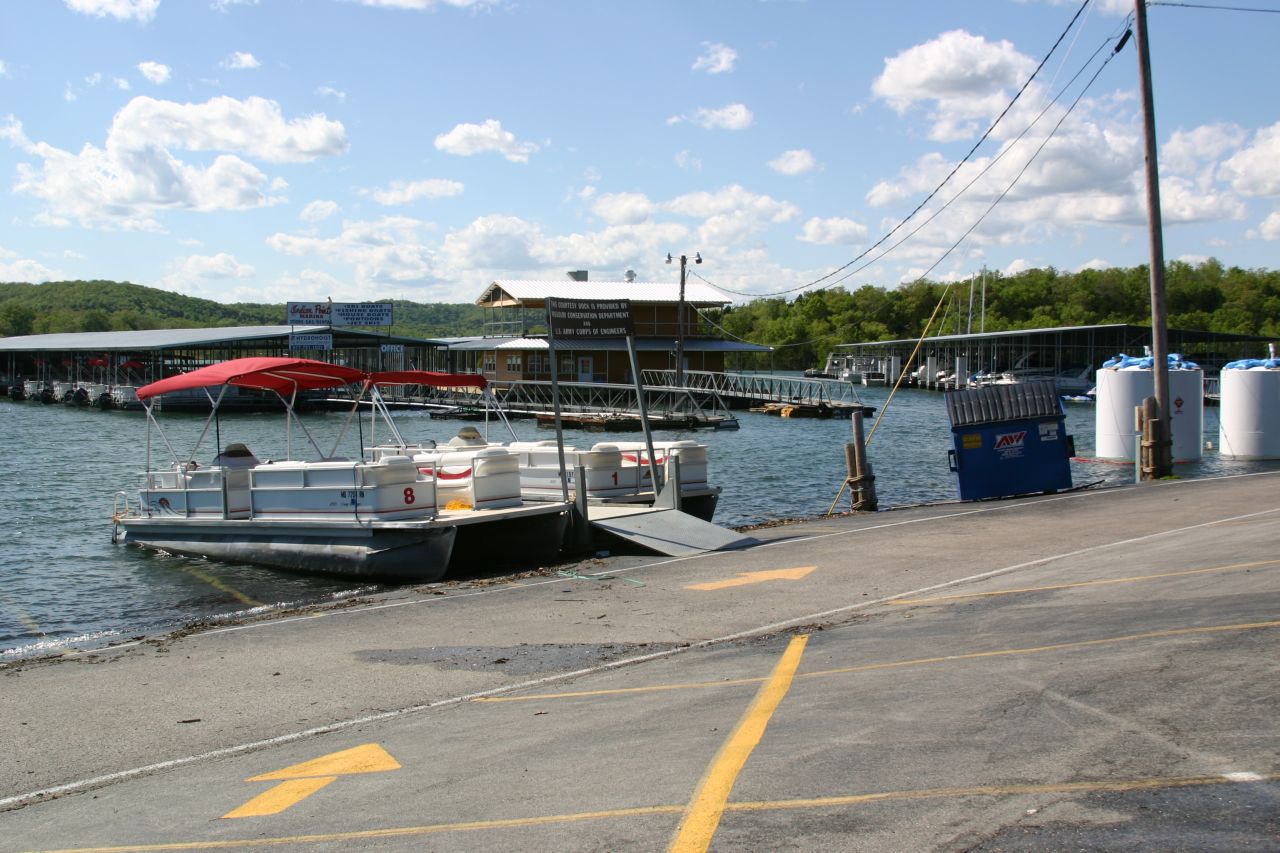
Long Creek Princess Dock and Store |
|
Long Creek Bridge on HWY 86 |
|
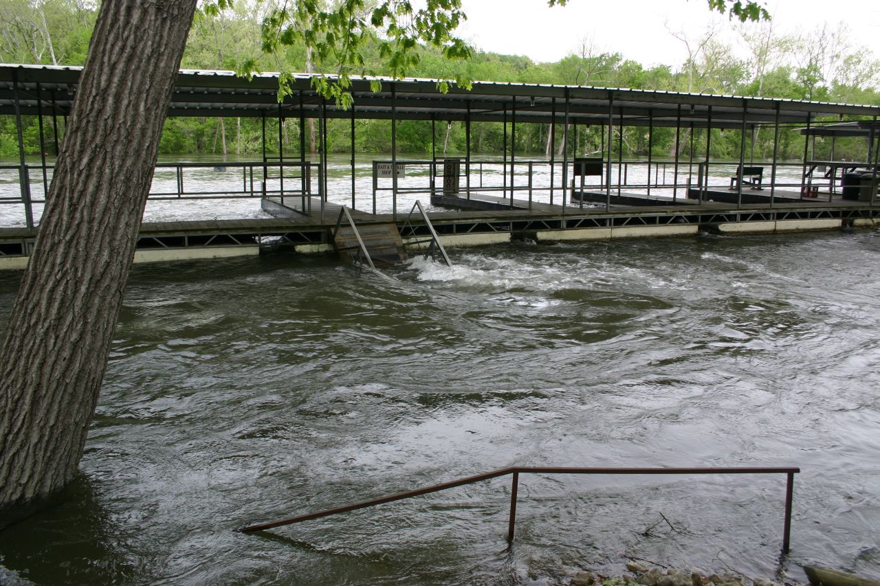
Trout Hollow Resort Boat Dock Trout Hollow is holding up well against the massive waters. Notice how narrow Taneycomo is at this point. |
|
For more information on Lake Taneycomo, Table Rock Lake Historic Kimberling Bridge Flooding History visit: |