
|
Branson, Mo Flood 2008 Table Rock and Taneycomo Lakes Presented by Sue Andersen Realty |
|
Observations by a 30 year Local! As Accurate as my Memory Allows! April 2008 |
|
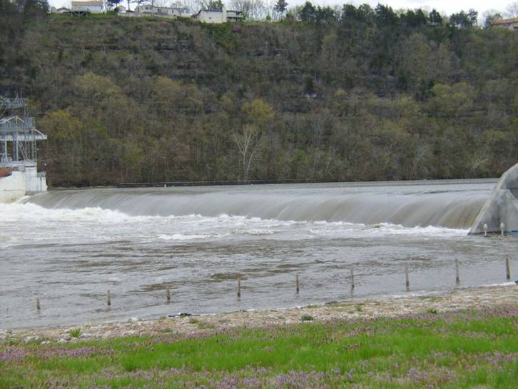
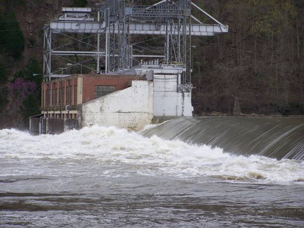
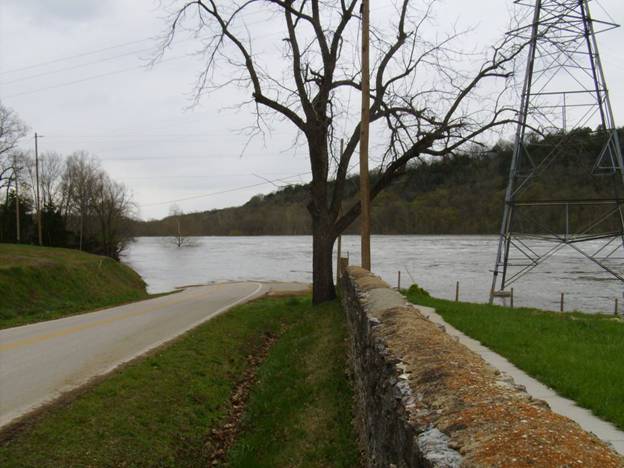
Taneycomo / Powersite Dam - Built in 1913 |
|
The Taneycomo Dam, also known as Powersite, seen above is normally an awesome site. During the flood, it was not much more than a ripple. |
|
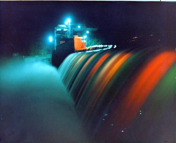
Taneycomo Dam- Night 1985 |
|
Taneycomo Dam - April 10, 2008 |
|
Special thanks to Jeff Johnson, photographer and friend contributed photos for this site! |
|
Great Weather! |
|
The Taneycomo Dam, also known as Powersite, seen above is normally an awesome site. Taneycomo / Powersite dam was built in 1913. Excess water from Taneycomo not used for power generation is allowed to spill over the top of the spillway into Bull Shoals. The top of the dam has been raised approximaty 6 foot utilizing a removable wood structure. This wood structure is removed at times to release greater amounts of water out of Taneycomo to help reduce flooding upstream. With Bull Shoals at flood stage, the Taneycomo Dam is not much more that a ripple in the high current. The pictures do not show the violent and dangerous water that is just below Taneycomo Dam. Through the years, there have been several reports of boats going over the dam. To my knowledge, no has drowned. |
|
Sue Andersen Realty 417-334-8152 sueandersenrealty@gmail.com Please copy and paste address! |